Érre Products
Geocare
Geography
Territorial planning
Platform
Geocare is a digital ecosystem developed to support municipalities and intermunicipal entities in the smart management of territory.
It brings together technology, geographic intelligence, and territorial data to turn scattered information into strategic knowledge, enabling faster, more sustainable, and better-informed decisions.
It integrates six specialized geo-solutions:
- Arbmap
- Climat
- Geovalor
- Geoinvest
- ProteC
- Érre Urbis
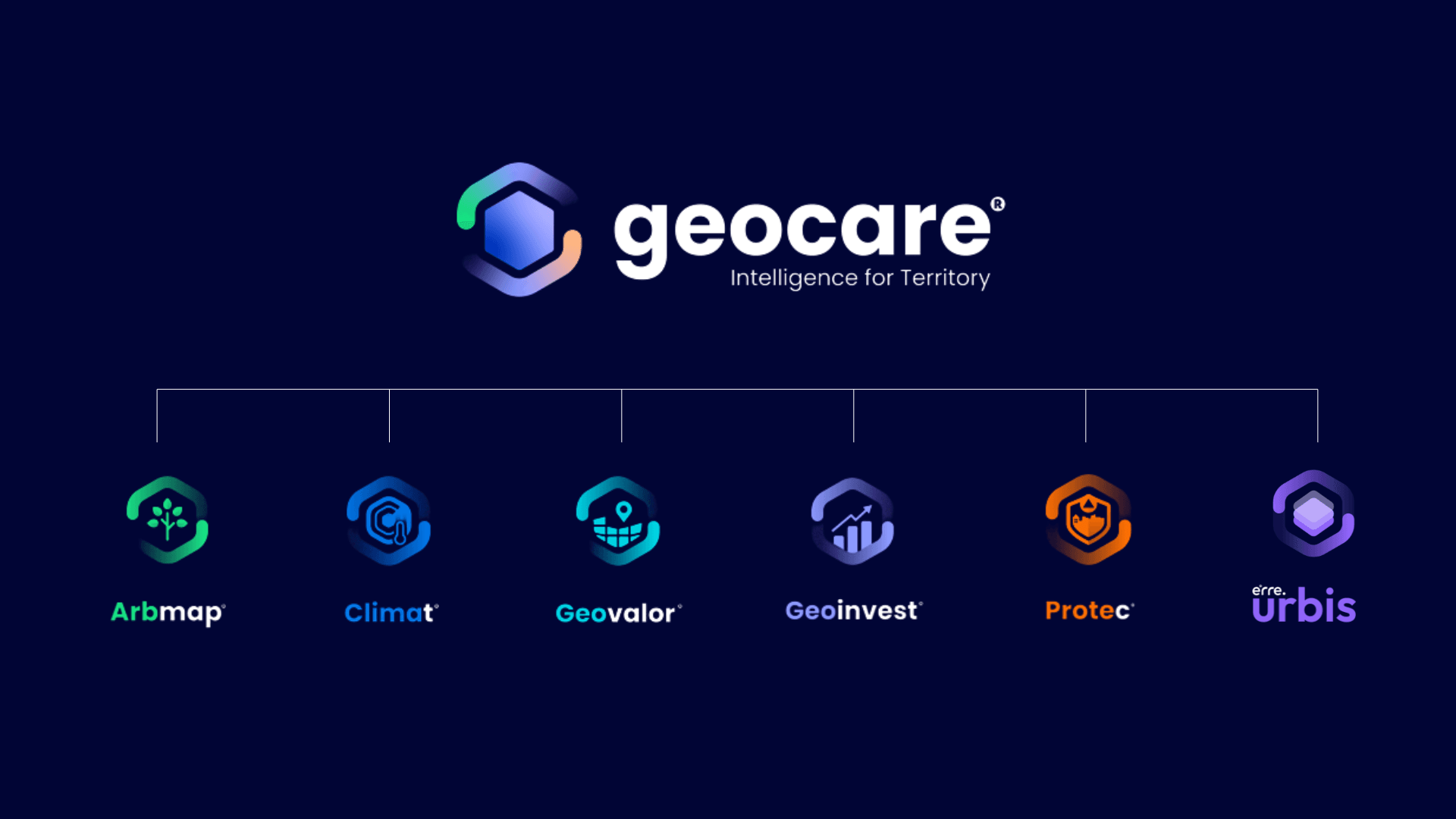
The Digital Ecosystem for Smart Territorial Management
Key Features
• Integrated territory management
• Georeferenced information
• Real-time monitoring
• Executive dashboards
• Territorial analysis
• Decision support
Key Benefits
• More efficient management
• Data-driven decisions
• Administrative transparency
• Greater sustainability
• Better coordination between services
• Integrated view of the territory
Sectors of Application
• Municipalities
• Intermunicipal Communities
• Public Administration
• Municipal Companies
• Development Agencies
• Public Entities