Érre Press
Geocare — The Digital Ecosystem Transforming Smart Territory Management
When the land speaks, you have to know how to listen.
Grupo Érre is doubling down on its commitment to territory-focused innovation with the launch of Geocare — a digital ecosystem built to help municipalities and intermunicipal entities create smarter, more sustainable territories ready for the challenges ahead.
There's a quiet tension running through many Portuguese town halls. On one side, mounting pressure to make decisions that are faster, better justified, and more transparent. On the other, fragmented systems, data trapped in silos, and technical teams burning hours hunting for information that already exists — it's just never where they need it to be.
This isn't a skills problem. It's a tooling problem. That conviction is exactly what drove Grupo Érre to build Geocare: a territorial management ecosystem designed specifically for municipalities and intermunicipal entities ready to move from reactive management to data-driven decision-making.
Geocare isn't a piece of software. It's a suite of integrated geo-solutions sharing a common infrastructure, a unified data logic, and an interface built for decision-makers — not system developers.
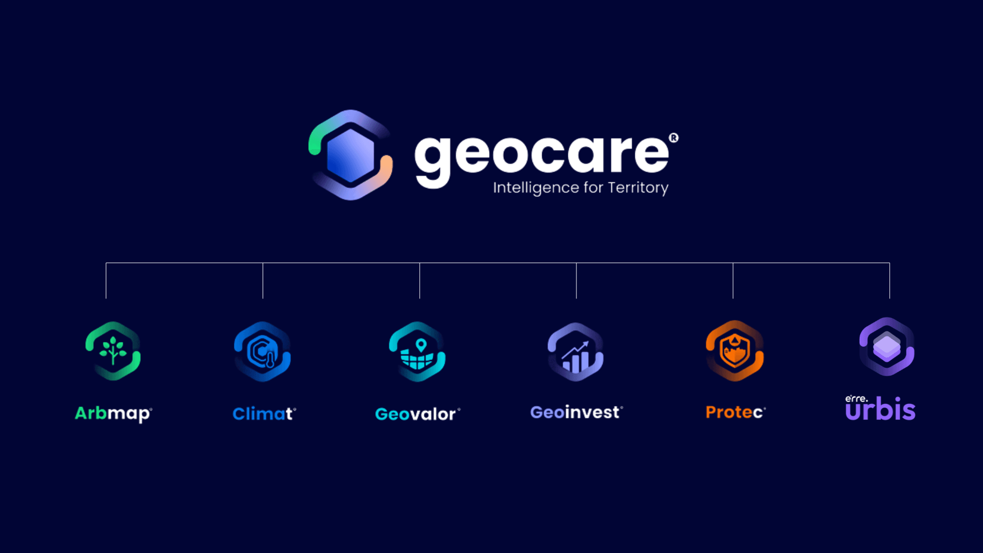
The ecosystem comprises five specialised geo-solutions, each designed to tackle a key challenge in territorial management:
• Arbmap — Smart urban tree management. Every tree is a public asset with environmental, legal, and financial value.
• Climat — Municipal climate action monitoring. So that PMAC commitments can be measured with real rigour.
• Geovalor — Unlocking territorial opportunity. A lens that spots potential where others just see empty land.
• Geoinvest — Driving investment and economic development. Present your territory to investors backed by hard data.
• ProteC — Digital management for Municipal Civil Protection. When an emergency hits, response time depends on the quality of information available — and that information needs to be ready before it's needed, not after.
Portugal is at a turning point. PT2030 funding, tightening regulatory demands — from tree management to climate adaptation — demographic pressure on urban centres, and depopulation in outlying areas are all forcing municipalities to rethink how they manage their territory. Most have the will. Many have the budget. What's often missing is the digital architecture to turn that will into measurable results. Geocare was built precisely to fill that gap.
Developed by Érre LRB — the Grupo Érre company specialised in territorial planning, geographic information systems, and environmental consultancy — Geocare marks another step in the group's strategy of building proprietary technology solutions that meet the real-world challenges of public administration and territorial management.
With this new ecosystem, Grupo Érre reaffirms its mission to turn knowledge into action, helping build municipalities that are more resilient, more efficient, and better prepared to face the challenges of today and tomorrow.
A smarter territory starts with better decisions. That's exactly what Geocare is here to deliver.